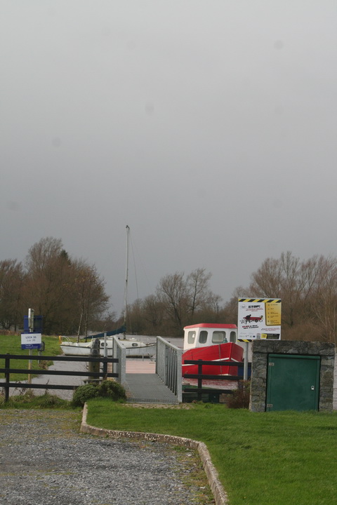
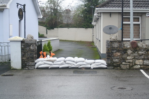
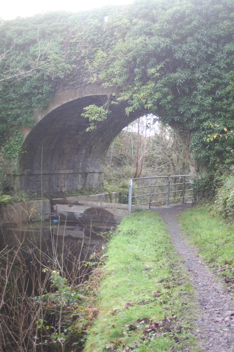
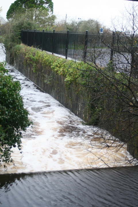
From the search terms used, it seems that many people are visiting this site with questions about Parteen Villa Weir, water levels, Shannon floods and so on. They are not this site’s primary focus, but some non-technical information might be of interest.
The best place to start is with a map of the Shannon International River Basin District. As the Shannon RBD site says,
The Shannon International River Basin District is the largest in Ireland at more than 18,000 km2 in area. It covers the natural drainage basin of the Shannon river itself, stretching from the source of the River Shannon in the Cuilcagh mountains in Counties Cavan and Fermanagh to the tip of the Dingle peninsula in north Kerry. It also includes coastal parts of Kerry and Clare which drain to the sea. It flows through 18 local authority areas and is also an international RBD as a small portion of County Fermanagh in Northern Ireland drains underground to the Shannon Pot.
The district is about one fifth of the area of the island, one quarter the area of the state. Rain that falls on that area of land ends up in the Shannon (or in a few small rivers in Clare and Kerry that flow to the sea). Some goes to the Shannon estuary or its tributaries; most flows into the non-tidal Shannon, which means the river upstream of Limerick.
The nature of the Shannon
Ireland has been described as saucer-like, with a high rim and a low flat centre. It’s not entirely true, but there certainly is a very large central plain, and the Shannon flows down through the middle of that. And, because the land it flows through is flat, the river falls very little.
In 113 miles from Leitrim to Killaloe, the Shannon falls just over 30 feet; the navigation channel needs only five locks. [By way of contrast, the Thames has 45 locks over 135 miles; the Trent has 12 locks over 42 miles.] So extra rainwater allows the Shannon to spread out, covering a much wider area, and it takes time for that water to drain away downstream. But many of the rivers that flow into the Shannon have been subjected to drainage schemes, so they can get rid of their flood waters quickly … into the Shannon.
Why don’t they open [or close] the weirs?
There are some weirs on the Shannon, designed to keep a minimum depth in the river for navigation; there are also some natural obstacles that hold water back. But once the level has risen high enough, water simply flows over the top of the weir, and there is nothing useful anybody can do — apart, of course, from farmers’ representatives and politicians, who can always make use of a photo opportunity.
The bottleneck
Almost all the water that enters the non-tidal Shannon will eventually flow through Killaloe, the town at the southern end of Lough Derg [it’s on the west bank, in Co Clare; the east bank is Ballina, in Co Tipperary].
As James Robinson Kilroe wrote in 1907,
[…] we have the formidable barrier at Killaloe, naturally damming up a considerable depth of water in Lough Derg, and the river falling away southward by a series of rapids which correspond with drops in the canal, south of O’Briensbridge […], along an alternative course, possibly one used by a branch of the Shannon.
The diagrams with that article are worth a look.
In the twelve Irish (fifteen statute) miles between Killaloe and the tidewater at Limerick, the river falls about 100 feet: more than three times its fall from Leitrim to Killaloe. In the nineteenth century, the water level at Killaloe used to change by about eleven feet between summer and winter — even without storms. The old Limerick Navigation, including the canal Kilroe mentioned, could drain only a small amount of water (which could put the navigation out of action); the rest went down the river’s original course through the Falls of Doonass.
The relief channel
Nowadays, the Falls of Doonass are a shadow of their former selves, and the water level through O’Briensbridge, Castleconnell and Plassey is much below its previous levels. I suspect that the older, larger trees along the river show the original level, with the newer, smaller trees having grown since the 1920s.
The cause was the construction of a relief drainage channel in the 1920s. This channel is controlled by a weir at Parteen Villa [not to be confused with Parteen]. Switch between the modern Street Map and the Historic views here to see what has happened.
Actually, of course, it’s not a relief drainage channel. The weir [sometimes referred to as the Hydro Dam] controls the flow of water to the original course of the Shannon [the right-hand or eastern channel, which gets the first 10 cubic metres of water per second] and the headrace for the hydroelectric power station at Ardnacrusha [the left-hand or western channel, which gets the next 400 cubic metres of water per second, 100 for each of its turbines]. The power station was built to use that 100-foot fall of the Shannon, concentrated between Killaloe and Limerick, to generate electricity.
But one effect of the construction of Ardnacrusha was to provide a channel, the power station headrace, capable of taking [at least] 400 cubic metres of water per second away from the original river channel, thus reducing the likelihood of flooding.
Cumec
Water experts talk about cumecs: a cumec is a flow of one cubic metre, or 1000 litres, of water per second. And a cubic metre of water weighs about one [metric] tonne, which is roughly the same as an imperial ton. So one cumec is one ton of water per second, which is a lot.
It was said, on 8 December 2015, that the ESB, using Parteen Villa Weir, had released 315 cumec down the original course of the Shannon on the previous day and had increased that to 375 cumec. If the Ardnacrusha headrace was getting 400 cumec, then the amount of water being discharged from Lough Derg and the upper Shannon had doubled.
Floods
As far as I can see, the Shannon has always flooded. The 2009 floods affected some nineteenth century houses, which I guess would have been flooded even worse before Ardnacrusha was constructed. However, I suspect that more houses have been built on the flood plain since then. But I don’t see that there is any way to prevent Shannon floods.
Envoi
There is a good article in the Irish Times of 9 December 2015; it will no doubt disappear behind a paywall at some stage.
Here is an ESB infographic about the Shannon.
Filed under:
Ashore,
Built heritage,
Canals,
Drainage,
Economic activities,
Engineering and construction,
Extant waterways,
Historical matters,
Industrial heritage,
Ireland,
Modern matters,
Operations,
People,
Politics,
Safety,
Shannon,
shannon estuary,
Sources,
waterways,
Waterways management,
Weather Tagged:
Ardnacrusha,
Castleconnell,
drainage,
flood,
Killaloe,
Limerick,
O'Briensbridge,
Parteen,
Parteen Villa,
Plassey,
Shannon,
water level,
weir ![]()
![]()


